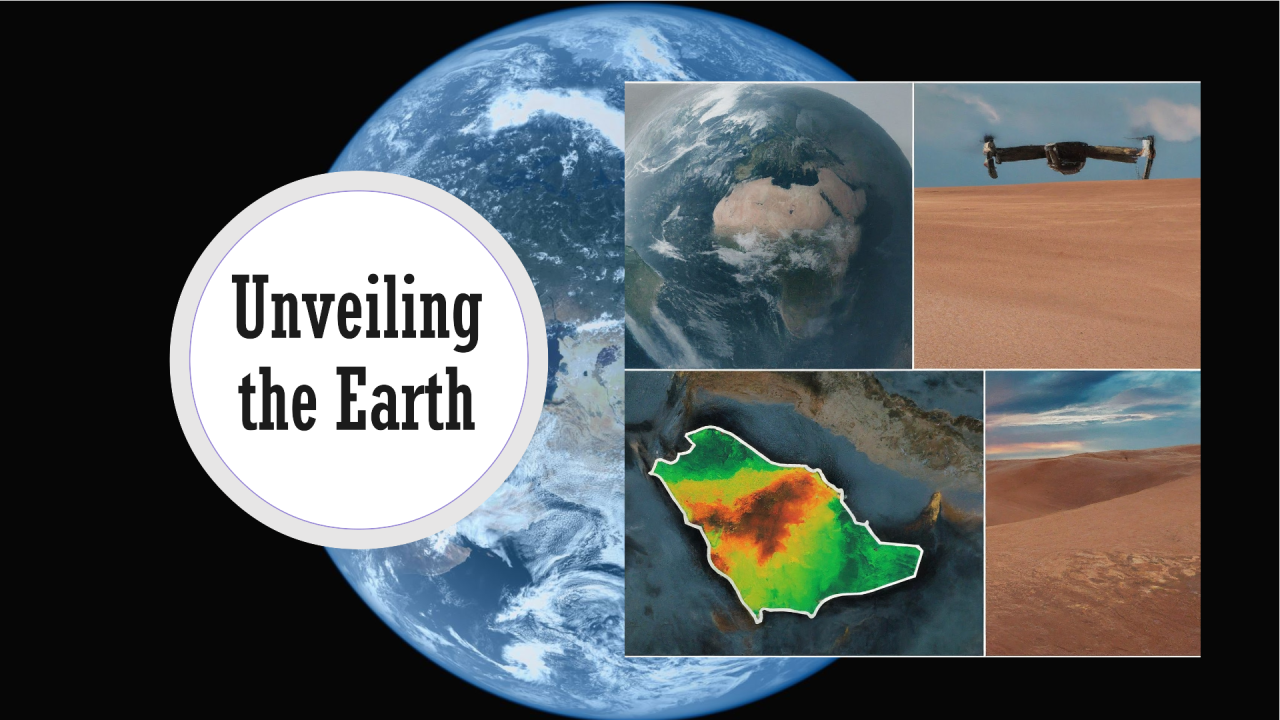
Geospatial Artificial Intelligence (GeoAI) represents a convergence of geospatial data science and artificial intelligence, offering unprecedented opportunities to extract insights, solve complex problems, and make informed decisions in various domains. As GeoAI continues to advance, it presents both exciting opportunities and significant challenges for researchers, practitioners, and policymakers in Saudi Arabia.
Introducing RSAIKH Group: A Leading GeoAI and Remote Sensing Services Provider
RSAIKH Group stands at the forefront of GeoAI, advanced mapping, and remote sensing services in Saudi Arabia. Renowned for its innovative solutions and cutting-edge technology, RSAIKH Group has established itself as one of the best providers of GeoAI services in the region. With a team of highly skilled professionals and state-of-the-art infrastructure, RSAIKH Group delivers tailored GeoAI solutions to meet the unique needs of its clients across various sectors.
Unlocking Opportunities with GeoAI
- Enhanced Spatial Analysis: GeoAI enables advanced spatial analysis by combining geospatial data with AI techniques such as machine learning, deep learning, and computer vision. This allows for the extraction of meaningful patterns, trends, and relationships from spatial datasets, leading to improved understanding and decision-making.
- Predictive Modeling and Forecasting: GeoAI facilitates predictive modeling and forecasting by leveraging historical geospatial data to anticipate future trends, events, and phenomena. From predicting urban growth patterns to forecasting natural disasters, GeoAI empowers decision-makers to proactively plan and mitigate risks.
- Precision Agriculture: In agriculture, GeoAI technologies enable precision farming practices by analyzing geospatial data such as soil composition, weather patterns, and crop health. AI-driven solutions optimize resource allocation, crop management, and yield prediction, leading to increased productivity and sustainability.
- Urban Planning and Management: GeoAI supports urban planning and management initiatives in Saudi Arabia by analyzing geospatial data to inform land use planning, transportation infrastructure design, and environmental conservation efforts. AI-powered urban analytics enable cities to optimize resource allocation, enhance resilience, and improve quality of life for residents.
- Disaster Response and Management: During natural disasters, GeoAI plays a critical role in disaster response and management in Saudi Arabia. By analyzing geospatial data in real-time, AI algorithms can assess damage, identify affected areas, and coordinate emergency response efforts, leading to more efficient and effective disaster relief operations.
Addressing Challenges in GeoAI Adoption
- Data Quality and Accessibility: Ensuring the quality and accessibility of geospatial data is a key challenge in GeoAI adoption in Saudi Arabia. Issues such as data inconsistency, incompleteness, and lack of interoperability can hinder the effectiveness of AI algorithms and models.
- Ethical and Privacy Concerns: GeoAI raises ethical and privacy concerns related to the collection, use, and dissemination of geospatial data in Saudi Arabia. Robust ethical frameworks are required to address issues such as data bias, algorithmic transparency, and individual privacy rights.
- Computational Complexity: GeoAI algorithms often require significant computational resources and expertise to train and deploy in Saudi Arabia. Addressing computational complexity issues requires investment in high-performance computing infrastructure and skilled personnel capable of developing and implementing AI solutions.
- Integration and Interoperability: Integrating GeoAI technologies into existing workflows and systems can be challenging in Saudi Arabia due to compatibility issues and lack of interoperability standards. Efforts to standardize geospatial data formats, protocols, and APIs are essential to enable seamless integration of AI-driven solutions.
- Skills Gap and Capacity Building: There is a growing demand for skilled professionals with expertise in both geospatial analysis and artificial intelligence in Saudi Arabia. Addressing the skills gap requires investment in education, training, and capacity building programs to equip the workforce with the necessary knowledge and skills to leverage GeoAI effectively.
Conclusion: Navigating the GeoAI Landscape in Saudi Arabia
In conclusion, GeoAI presents immense opportunities to revolutionize spatial analysis, decision-making, and problem-solving across various domains in Saudi Arabia. However, realizing the full potential of GeoAI requires addressing key challenges related to data quality, ethics, computational complexity, integration, and skills development. By leveraging GeoAI technologies in alignment with Saudi Vision 2030 and smart city initiatives, Saudi Arabia can unlock transformative solutions and pave the way towards a more sustainable and prosperous future.
#GeoAI, #SaudiArabia, #ArtificialIntelligence, #RemoteSensing, #SpatialAnalysis, #SmartCities, #SaudiVision2030, #UrbanPlanning, #PrecisionAgriculture, #DataScience, #MachineLearning, #DecisionMaking, #DisasterManagement, #Infrastructure, #EthicalAI, #DigitalTransformation, #Sustainability, #CapacityBuilding, #Innovation, #RasikhGroup, #SaudiArabia, #Vision2030, #NEOM, #TheLine, #SmartCities, #SaudiCulture, #TravelSaudi, #SaudiTourism, #SaudiAdventures, #RedSea, #TheEmptyQuarter, #AlUla, #Diriyah, #Jeddah, #Riyadh, #SaudiInvestment, #SaudiBusiness,#NEOM, #Aramco, #SaudiOil,


