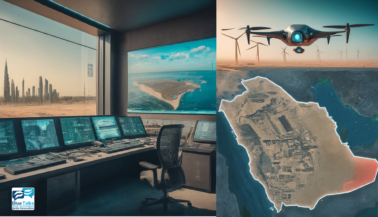
NEOM, a futuristic city being developed in Saudi Arabia, represents a paradigm shift in urban planning and development. As one of the largest smart city projects globally, NEOM aims to integrate cutting-edge technologies to create a sustainable, innovative, and efficient urban environment. UAV mapping plays a pivotal role in NEOM’s infrastructure management strategy, facilitating data-driven decision-making and ensuring the city’s development aligns with its ambitious goals.
Introduction to NEOM
NEOM is a visionary project that seeks to redefine urban living by leveraging advanced technologies and sustainable practices. Spanning over 26,500 square kilometers, NEOM is designed to be a model for future cities, blending urban sophistication with natural beauty. With a focus on innovation, sustainability, and quality of life, NEOM aims to attract global talent, investment, and partnerships to drive economic growth and prosperity.
Role of UAV Mapping in NEOM
UAV mapping serves as a cornerstone of NEOM’s infrastructure management approach, providing invaluable insights into the city’s spatial dynamics, natural resources, and built environment. Equipped with state-of-the-art sensors and imaging technologies, drones capture high-resolution data of NEOM’s diverse landscapes, including coastal areas, desert terrain, and urban developments. This data fuels informed decision-making across various sectors, from urban planning and transportation to environmental conservation and energy management.
Applications of UAV Mapping in NEOM
- Urban Planning and Development: UAV mapping supports urban planners and architects in visualizing and analyzing NEOM’s evolving urban landscape. High-resolution aerial imagery and 3D models enable stakeholders to assess land use, infrastructure requirements, and spatial connectivity, ensuring efficient and sustainable development.
- Infrastructure Inspection and Maintenance: Drones conduct routine inspections of NEOM’s critical infrastructure, such as roads, bridges, utilities, and buildings. By identifying potential defects, wear, and structural issues early on, UAV mapping helps prioritize maintenance activities, minimize downtime, and enhance infrastructure resilience.
- Environmental Monitoring and Conservation: NEOM’s pristine natural environment is a key asset that requires careful stewardship. UAV mapping enables environmental scientists and conservationists to monitor ecological changes, biodiversity hotspots, and habitat integrity across NEOM’s diverse ecosystems. This data informs conservation strategies and sustainable land management practices, preserving NEOM’s natural heritage for future generations.
- Emergency Response and Disaster Management: In the event of emergencies or natural disasters, UAV mapping provides real-time situational awareness and damage assessment capabilities. Drones rapidly survey affected areas, assess infrastructure damage, and identify potential hazards, enabling swift and targeted response efforts to mitigate risks and ensure public safety.
Benefits and Outcomes
The integration of UAV mapping into NEOM’s infrastructure management framework yields numerous benefits:
- Enhanced decision-making through data-driven insights and analysis.
- Improved operational efficiency and resource optimization.
- Enhanced infrastructure resilience and reliability.
- Accelerated project timelines and reduced costs.
- Strengthened environmental stewardship and sustainability practices.
- Enhanced public safety and emergency preparedness.
Conclusion
UAV mapping serves as a vital tool in NEOM’s journey towards becoming a leading smart city of the future. By harnessing the power of drones and geospatial technology, NEOM sets new standards for urban innovation, sustainability, and quality of life. As NEOM continues to evolve and expand, UAV mapping will remain integral to its success, driving progress and shaping the city’s future in alignment with its bold vision.
, #UAVMapping, #NEOM, #SmartCities, #UrbanPlanning, #InfrastructureManagement, #GeospatialTechnology, #Sustainability, #Innovation, #UrbanDevelopment, #EnvironmentalMonitoring, #EmergencyResponse, #SmartInfrastructure, #DroneTechnology, #UrbanResilience, #DataDrivenDecisionMaking, #UrbanInnovation , #SmartCityDevelopment, #InfrastructureMaintenance, #NaturalResourceManagement, #FutureCities, #SaudiArabia, #Vision2030, #SustainableDevelopment, #MiddleEast, #TechnologyInnovation, #UrbanTransformation, #DigitalTransformation, #SaudiVision2030, #SaudiInnovation, #UrbanSustainability


