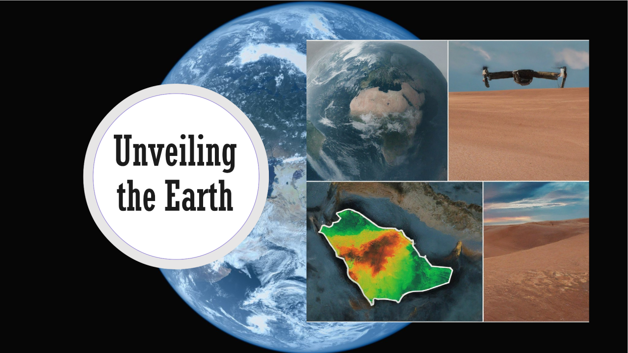
From the vast expanse of the Empty Quarter desert to the bustling cityscape of Riyadh, remote sensing technology offers a unique perspective on Saudi Arabia’s diverse landscapes. By harnessing data collected from satellites, drones, and other aerial platforms, scientists and policymakers gain valuable insights into the kingdom’s environment and resource management. As we move through 2024, let’s explore the exciting advancements shaping the future of remote sensing technology, with a particular focus on its role in Saudi Arabia.
Enhanced Resolution and Accuracy for Saudi Arabia’s Unique Landscape:
One of the most significant trends in remote sensing is the continuous improvement in resolution and accuracy. Advancements in sensor technology are leading to the development of satellites and drones capable of capturing incredibly detailed images. This is particularly beneficial for Saudi Arabia, where vast deserts and intricate geological formations require high-resolution data for analysis. With improved accuracy, researchers can monitor changes in desert ecosystems, track sand dune movement, and map mineral deposits with unprecedented precision.
Remote Sensing and Vision 2030:
Saudi Arabia’s ambitious Vision 2030 plan emphasizes economic diversification and environmental sustainability. Remote sensing plays a crucial role in achieving these goals. For instance, hyperspectral imaging can be used to identify potential sites for mineral exploration, a key objective of Vision 2030 to reduce dependence on oil. Additionally, remote sensing data is vital for monitoring water resources in arid regions like Saudi Arabia. By tracking groundwater levels and identifying areas of water stress, the government can implement sustainable water management practices.
AI Revolutionizes Remote Sensing in Saudi Arabia:
The marriage of remote sensing data with AI is revolutionizing environmental analysis in Saudi Arabia. A prime example is the use of AI for monitoring desertification, a major challenge for the kingdom. AI algorithms can analyze vast amounts of satellite imagery, identifying areas prone to desertification and enabling proactive measures to prevent land degradation. Additionally, AI-powered analysis of remote sensing data can be used for:
- Precision agriculture: Optimizing irrigation practices and identifying areas with potential crop stress to enhance food security in Saudi Arabia.
- Disaster management: Providing real-time data for faster and more effective responses to natural disasters like flash floods and sandstorms.
- Urban planning: Supporting the development of smart cities within Saudi Arabia’s Vision 2030, by monitoring urban sprawl and optimizing infrastructure planning.
Saudi Initiatives and Challenges:
- King Abdulaziz City for Science and Technology (KACST): KACST plays a leading role in promoting remote sensing research and development in Saudi Arabia. KACST, in partnership with Taqnia Space, is actively involved in developing and launching high-resolution Earth observation satellites specific to the region’s needs.
- Data Accessibility and Expertise: While advancements are being made, ensuring accessibility of high-resolution remote sensing data and fostering a skilled workforce for data analysis remain ongoing challenges.
Conclusion:
Remote sensing technology continues to be a game-changer for understanding and managing Saudi Arabia’s diverse landscapes. With advancements in resolution, AI integration, and national initiatives like Vision 2030, the future of remote sensing in Saudi Arabia is bright. By addressing data accessibility and fostering expertise, the kingdom can unlock the full potential of this technology for environmental monitoring, resource management, and achieving the goals outlined in Vision 2030.


